Three new updates for Google Earth and Maps bring changes.
These include historical images (dating back to 1983), expanded Street View, and sharper images with AI. Our planet is constantly changing. Cities are growing, landscapes are changing, and the climate is constantly reshaping our Earth. Google helps users visualize these changes so we can learn more about the world around us. Maybe you want to travel back in time and see what your neighborhood looked like decades ago.
Or maybe you want to understand how forests have been affected by human activity and climate change? Thanks to new historical images in Google Earth on the web and mobile devices, all of this will soon be possible. This will allow users to explore a library of satellite and aerial images, some dating back as far as 80 years. As you explore, you’ll see a stark contrast in how the geography of many places has evolved.
For example, a 2018 image of Lake Oroville, which experienced a significant drop in water levels after several years of drought. Compare that to an image from 2023, which shows how a series of rains gradually filled the reservoir back to its maximum capacity — providing water supplies, electricity from power generation, and space for water activities such as swimming and kayaking. Historical images allow users to follow the lake’s evolution in stunning detail.
Historical images can also show dramatic changes over longer periods of time. In places like London, Berlin, Warsaw, and Paris, you can even explore images from the 1930s. For example, there is a black-and-white photograph of San Francisco from 1938, taken by pilots from Oakland Airport. During this period, you can see that the ports were mainly used for transportation and industry — in contrast to the image from 2024.
In 2024, the piers (harbor) are dotted with restaurants and cruise ships docked in the harbor. If you want to explore even more changes in the world, check out Timelapse in Google Earth, an interactive experience created from millions of satellite images that shows an amazing visualization of how our planet is changing over time.
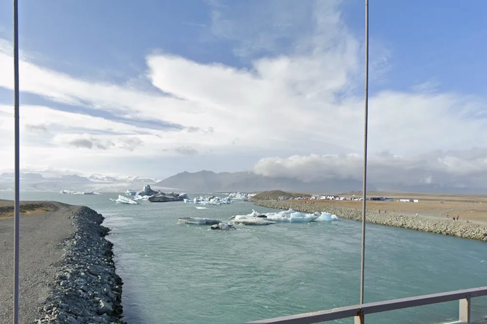
Diamond Beach in southeastern Iceland
In addition to helping us see changes on Earth, the giant also makes it easier for researchers and organizations to use Google Earth for projects such as creating their own maps. Soon, they will begin displaying projects directly from the newly designed home screen, making it even easier to collaborate with teams. While Google Earth has an extensive collection of satellite and aerial images, Street View displays more than 280 billion images collected from cars and trekkers.
With Street View, you can virtually explore every continent from your living room — and even places like the Great Barrier Reef and the International Space Station. Google is launching one of the biggest updates to Street View, with new images in nearly 80 countries — some of which will have Street View images for the first time. Users will be able to explore the picturesque countryside of Bosnia and its medieval villages.
They can also explore the sand mountains surrounding Namibia’s capital, the Alps and castles of Liechtenstein, and the beautiful rivers of Paraguay. You can even take a virtual stroll through the streets of foreign cities and see shops and buildings up close. Check out updated images from around the world, in countries such as Australia, Argentina, Brazil, Costa Rica, Denmark, France, Iceland, Japan, Mexico, New Zealand, the Philippines, Rwanda, Serbia, Spain, South Africa, Switzerland, Uruguay, and many more.
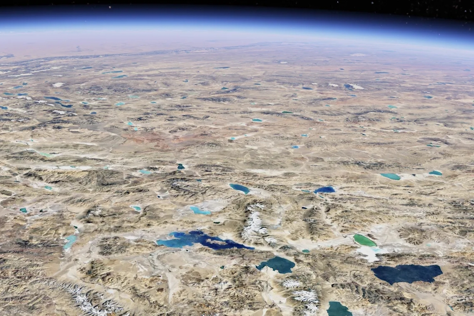
And according to the operator, their latest camera — weighing 6.8 kg and mountable on any car — will make it easier to bring Street View to even more places in the future. As our planet changes, these updated images help keep the map current for people everywhere. In addition to making images available in more places, they also improve the sharpness of satellite images in Google Earth and Maps.
Starting this week, you’ll see a clearer, more vibrant Earth thanks to cloud removal technology. They used a Cloud Score+ AI model, trained on millions of images, to recognize and remove things like clouds, cloud shadows, haze, and fog. At the same time, this model keeps real weather patterns — such as ice, snow, and mountain shadows — visible on the map. The result is a completely updated map, giving you a clearer and more accurate view of the Earth.